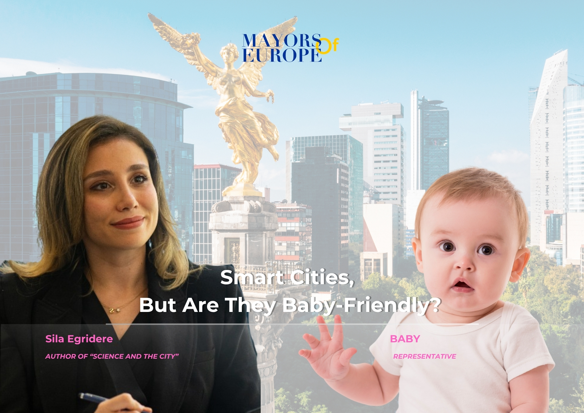
How Helsinki Reads Its Own City — It Never Stopped Building
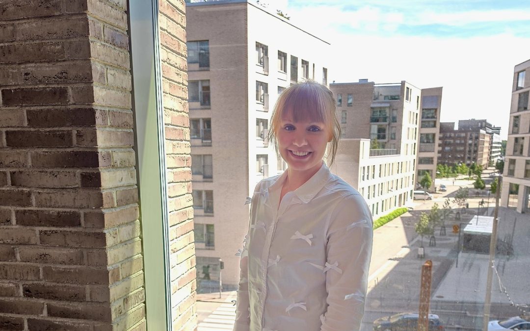
Forty years is a long time to be doing anything in tech. For Helsinki, it marks how long the city has been building and maintaining 3D city models, not as a showcase, but as working infrastructure. Enni Airaksinen, Senior Specialist at Helsinki 3D+, has been part of the next chapter: turning that foundation into digital twins that support climate work, building permits, energy planning, and urban decision-making at scale. We asked her what it actually looks like when a city moves from visualisation to operational use and where even Helsinki still has ground to cover.
Helsinki has been building 3D city models for over 40 years, one of the longest-running programs of its kind in the world. Where does the city stand today and what has changed most in how you use that data operationally?
The biggest change is that the 3D model is no longer seen as the end product. In Helsinki, it never really was. From the very beginning, our CityGML model was designed with long-term maintenance, updates, and practical use in mind. It has become a platform that could bring together data from different domains, such as buildings, energy, mobility, environment, and climate. We have moved from static 3D models to digital twins that help us analyse data, test scenarios, and support better decision-making. Today, the key question is not how to build a 3D city model, but how to use it to better understand and manage the city.
GeoAI is still early-stage in most cities. What does Helsinki’s current experimentation look like, and what problem are you most hoping it will help solve?
We too are still at an early stage, but we see significant potential in GeoAI. In general, we are particularly interested in using AI for data quality improvement, feature matching across datasets, metadata generation, semantic enrichment, and making city data easier to discover and use. Cities are not suffering from a lack of data. The real challenge is bringing data together and turning it into shared knowledge. That is where I see the greatest potential for GeoAI: helping us discover patterns, generate insights, and support better decision-making across city operations. Helsinki is at the moment exploring the possibilities and practical applications of the technology
There is growing interest in connecting LLMs to digital twin platforms. What is the realistic potential you see there and what are the barriers that don’t get talked about enough?

Photo by Tapio Haaja on Unsplash
Climate work and 3D urban data, how concretely are these linked in Helsinki’s practice? Is the connection already operational or still more of a vision?
In Helsinki, the use of digital twins and 3D city models is already partly operational, although there is still significant room for development. Today, 3D city models support several climate-related services and analyses. One practical example is the Energy and Climate Atlas, where city models are used for solar potential analysis, building energy assessments, geothermal energy potential analysis, and climate-related decision support. More recently, we have also started to integrate vegetation and urban green infrastructure into our analyses. For example, we model individual trees in 3D and use them to understand shading effects, solar energy potential, urban heat islands, and the role of green infrastructure in climate adaptation. This allows us to better evaluate how both the built environment and vegetation influence local climate conditions. We are also exploring the use of 3D city models in climate adaptation work, including urban heat islands, stormwater management, and flood-risk assessments. The value of the digital twin lies in its ability to provide a common spatial framework where data from different domains can be combined and analysed together. This helps us better understand complex urban phenomena and supports more informed decision-making. At the same time, we are moving beyond static analyses towards digital twins that can integrate multiple datasets, support simulations, and eventually include near real-time information. For Helsinki, the connection between climate work and digital twins is therefore no longer just a vision, it is already part of daily operations. The work we are doing today is a long-term investment. We are continuously building the data foundations, processes, and capabilities that allow us to take advantage of emerging technologies as they become available. These capabilities cannot be built overnight; they develop through practical projects, experimentation, and operational use.
Data-driven urban development is a phrase many cities use, but the maturity levels vary enormously. How would you honestly describe Helsinki’s maturity and where do the hardest gaps still lie?
I would say Helsinki is relatively mature in terms of data availability, digital infrastructure, and digital twin development. We have been investing in city data, 3D city models, and digital services for decades. That said, I do not think any city can claim to be fully data-driven. The biggest challenge is often not collecting more data, but connecting existing data, making it interoperable, and turning it into actionable knowledge that supports decision-making across the organisation. Another challenge is moving from successful pilots and individual use cases to solutions that become part of everyday city operations. This is also why the work of standards organisations and communities is so important. Organisations such as the Open Geospatial Consortium help create common frameworks that allow data, systems, and organisations to work together. Ultimately, the value of standards is not technical compliance, it is reducing data silos and enabling collaboration. So, while we have a strong foundation, there is still a significant gap between having data and fully using it to support decisions at scale.
What would you want other European cities to learn from Helsinki’s journey and what are you still looking to learn from them?
One lesson from Helsinki’s journey is the importance of thinking long-term. Building digital twins, data platforms, and interoperable city data takes time. The value comes from continuous development, maintenance, and practical use rather than from individual projects or technology demonstrations. I would also encourage cities to focus not only on creating data, but on ensuring that data can be shared, connected, and reused across different domains and organisations. At the same time, we still have a lot to learn from other cities. Many are facing similar challenges and experimenting with new approaches, technologies, and governance models. Networks such as the 5CC+ cities and communities like the OGC are valuable because they allow cities to learn from each other’s successes and mistakes instead of solving the same problems independently. No city has all the answers. The challenges we face, such as climate change, urbanisation, digital transformation, are shared, and so should be many of the solutions.