Harnessing Environmental Data: How Orbisens Empowers AI and Digital Twin Solutions for Cities
Weather and air‑quality parameters can change dramatically over a few hundred meters. Yet most monitoring networks remain sparse and expensive, leaving digital models starved of high‑resolution input and AI systems prone to hallucinations and poor generalization. Investing in ground‑based observation has a 1:26 cost–benefit ratio, making dense sensing not only technologically necessary but economically sound.
Cities lose $500B each year due to poor planning and low resilience against escalating climate impacts. The smart city market is projected to grow at a 25.8% CAGR until 2030, reflecting the accelerating demand for data-driven management. The $16B environmental monitoring market is projected to increase at a CAGR of around 10% until 2030. Orbisens meets this need by simplifying monitoring: the right measurement, in the right place, with the right interface, easier to install, to use, and to maintain.

Orbisens
Why better data matters for AI and digital twins
AI’s data bottleneck. Recent advances in machine learning have delivered models with billions of parameters, but these models require huge amounts of real‑world data. When models run out of high‑quality data, they start relying on synthetic inputs, raising the risk of “hallucinations”. That problem isn’t limited to chatbots. Climate‑risk models, energy‑management algorithms and urban forecasting tools all depend on trustworthy measurements. Without granular sensor data, AI outputs are speculative and can mislead decision‑makers.
Digital twins need live inputs. Digital twins are virtual replicas of physical systems that use real‑time sensor data to monitor, simulate and predict performance. In urban contexts they help planners visualise the impact of proposed changes and implement data‑driven strategies. Digital twins support use cases ranging from smart‑city planning and infrastructure maintenance to energy optimisation, climate‑risk assessment and disaster management. However, they are limited by the resolution and reliability of their input data; without dense environmental monitoring, their simulations are coarse approximations.
The Orbisens approach: systemic design and modularity
Most environmental instruments were designed for scientists, not city engineers. They are complex, fragile and expensive. Orbisens takes a systemic design approach that focuses on usability, scalability and sustainability rather than just technical specifications. Some key aspects include:
- Modular hardware: Each monitoring module reuses the same base components. Swapping sensor modules instead of replacing entire units reduces production costs and simplifies repairs. Patent‑pending designs allow the system to adapt to new measurement needs without redesigning product lines.
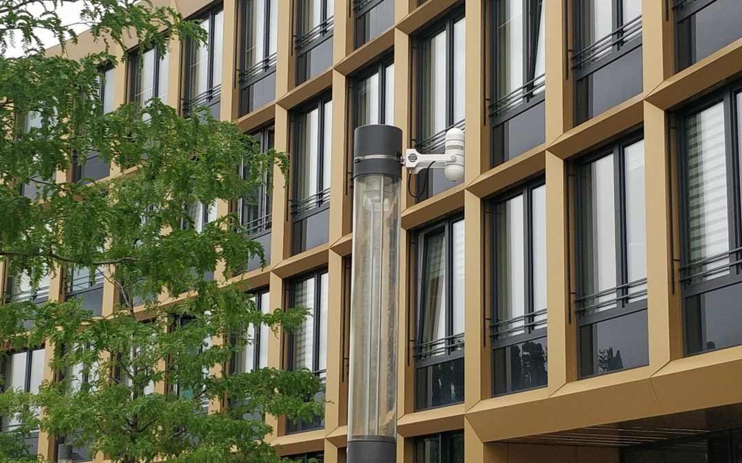
- Ease of deployment: Cables and moving parts have been eliminated. Units mount on existing urban infrastructure and integrate quickly with existing power and communication interfaces, delivering five‑times faster installation and 75 % lower maintenance costs compared with traditional solutions..
- Cost‑efficient density: Orbisens delivers three‑times more data points per euro by reducing hardware complexity and focusing on the total cost per data point rather than just sensor specifications. Denser networks translate directly into better resolution for AI models and digital twins.
- Urban design: The devices blend into the cityscape and can be installed on lamp posts, buildings or transport infrastructure. Their appearance and form factor are designed to be accepted by citizens and city planners alike.
This systemic focus extends beyond hardware. Orbisens asks practical questions, who installs the device, how is it maintained, how quickly can it scale and evolve, and what is the communication interface?. Addressing these logistical and operational concerns is key to real‑world usability, and it is often where conventional smart‑city products fail.

Orbisens
From sensors to actionable insights: what’s in it for cities
Feeding AI and digital‑twin ecosystems
Urban digital twins rely on continuous streams of data to simulate traffic, microclimates, energy flows and infrastructure stresses. Orbisens acts as a “nervous system” for the data‑driven city, delivering environmental parameters—including temperature, humidity, particulate matter, and wind—from dense networks of low‑maintenance nodes. With better inputs, AI models used in digital twins can more accurately predict local heat islands, pollution hotspots, flood risks or energy demand spikes. This makes policy simulations and infrastructure planning credible rather than speculative.
Early warnings and climate resilience
Extreme weather events and microclimatic variations are increasingly common. Deploying more sensors enables early warnings, allowing city authorities to anticipate storms, heatwaves or pollution spikes and take preventive action. Because Orbisens sensors are modular and easy to calibrate, cities can quickly expand networks where risks are highest and integrate data into existing meteorological systems. Ground‑based observation is cost‑effective—every dollar invested saves roughly twenty‑six dollars in hazard response costs—and it protects citizens and infrastructure.
Informed planning and resource optimisation
Better data improves everyday decision‑making. High‑resolution temperature and air‑quality maps can help planners design green corridors, urban shading and ventilation paths to mitigate heat islands. Real‑time measurements feed into traffic‑management algorithms, enabling adaptive speed limits or dynamic routingwhen air quality deteriorates. Integrating Orbisens data into energy‑management systems allows utilities to balance renewable generation with demand. Digital‑twin simulations supported by accurate data allow planners to test policy scenarios—such as new bike lanes, zoning changes or building codes—before implementing them.
Lower total cost of ownership
Cities often struggle to reconcile cost, quality and usability; most providers force them to choose one or two and compromise on the third. Orbisens’ modular architecture and systemic design reduce the per‑point cost of environmental data while maintaining scientific reliability. Lower maintenance and faster installation free up budgets for analytics and digital‑twin development. The result is that AI projects become affordable and scalable.
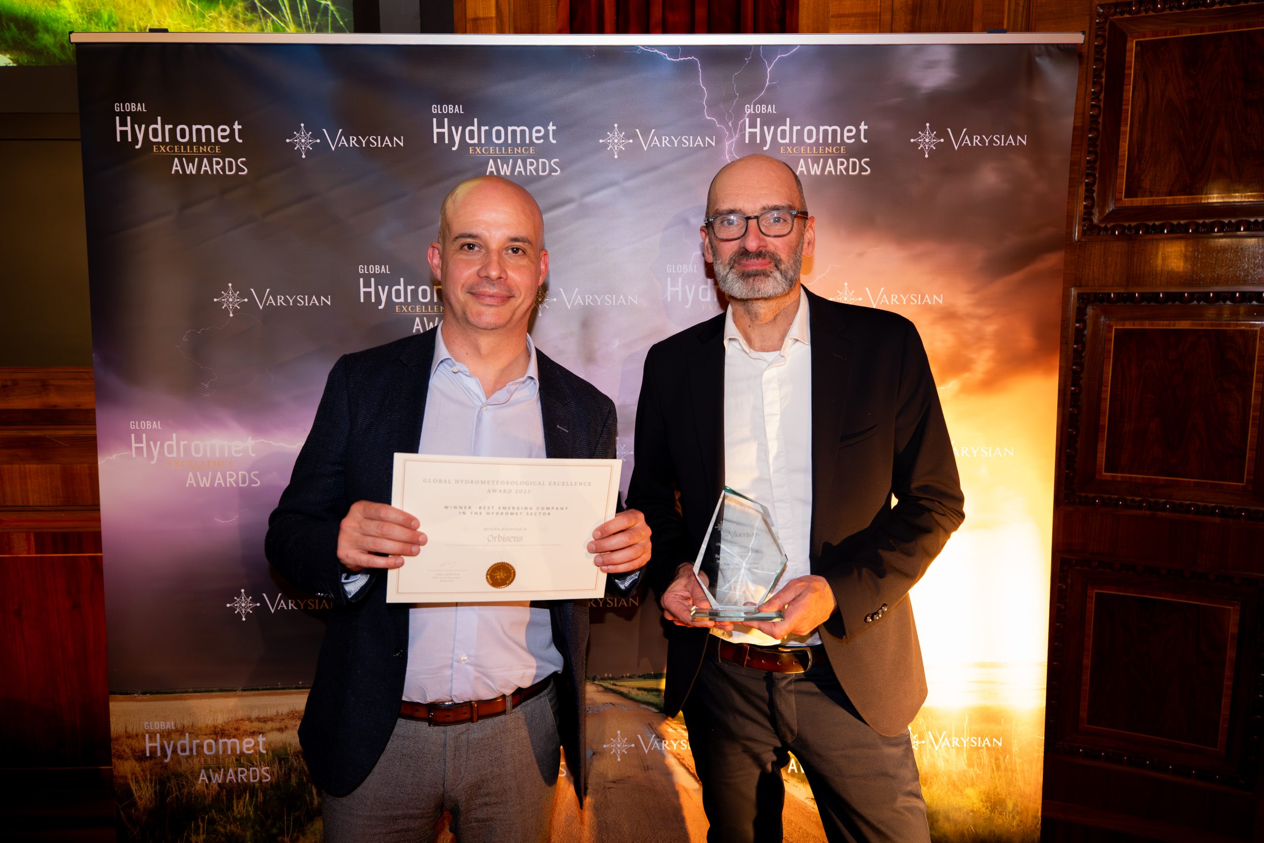
Hydromet Award ceremony, Orbisens